Discussion: Lidar
in: jennycas; jennycas > 2016-02-21
Feb 24, 2016 2:57 AM
#
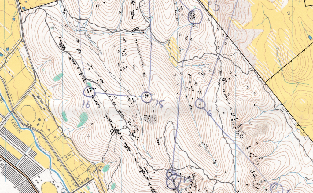
In simple spur gully there is almost never any error in lidar contours. [eg one or two missing minor gullies on the Crusoe map]. You normally just have to smooth them. As far as I know, this data wasn't even smoothed! My normal approach to field working lidar contours is.. if I think they are wrong, I come at the feature from other directions. Then I mostly realise that I was wrong and the lidar was correct. Occasionally you feel a need to exaggerate the contours, but there wasn't enough space between the lines on Sundays map to start thinking like that.
Feb 24, 2016 3:24 AM
#
Then I mostly realise that I was wrong and the lidar was correct.
It's embarrassing how often this happens. :)
Feb 24, 2016 10:45 AM
#
How do you smooth contours? I've got these contours on a MTBO map I'm working on at the moment that are bloody awful (sorry Juffy) with wiggles all over them and it looks pretty messy. Without manually going around and deleting heaps of curve points, is there an easier way to make the contours look like a smooth line?
This discussion thread is closed.
