Discussion: wachusett
in: Ari-o; Ari-o > 2017-04-30
Apr 30, 2017 8:19 PM
#
There is an old NEOC map. Hasn't been used in a long time, I think since an ice storm brought down a lot of trees. It was green to begin with, and I don't think that made it any better.
May 1, 2017 4:36 AM
#
I wasn't looking too much at the terrain and more at the earth under my feet. It didn't look terribly thick, but also wasn't the "ooh look at this terrain" you sometimes get running through the woods. This course would not have suited me well with 1000' of drop.
May 1, 2017 1:35 PM
#
Apparently it's a Mikkel Platt map, made during his "true green" days of mapping. But yeah, that's a lot of green.
May 1, 2017 7:21 PM
#
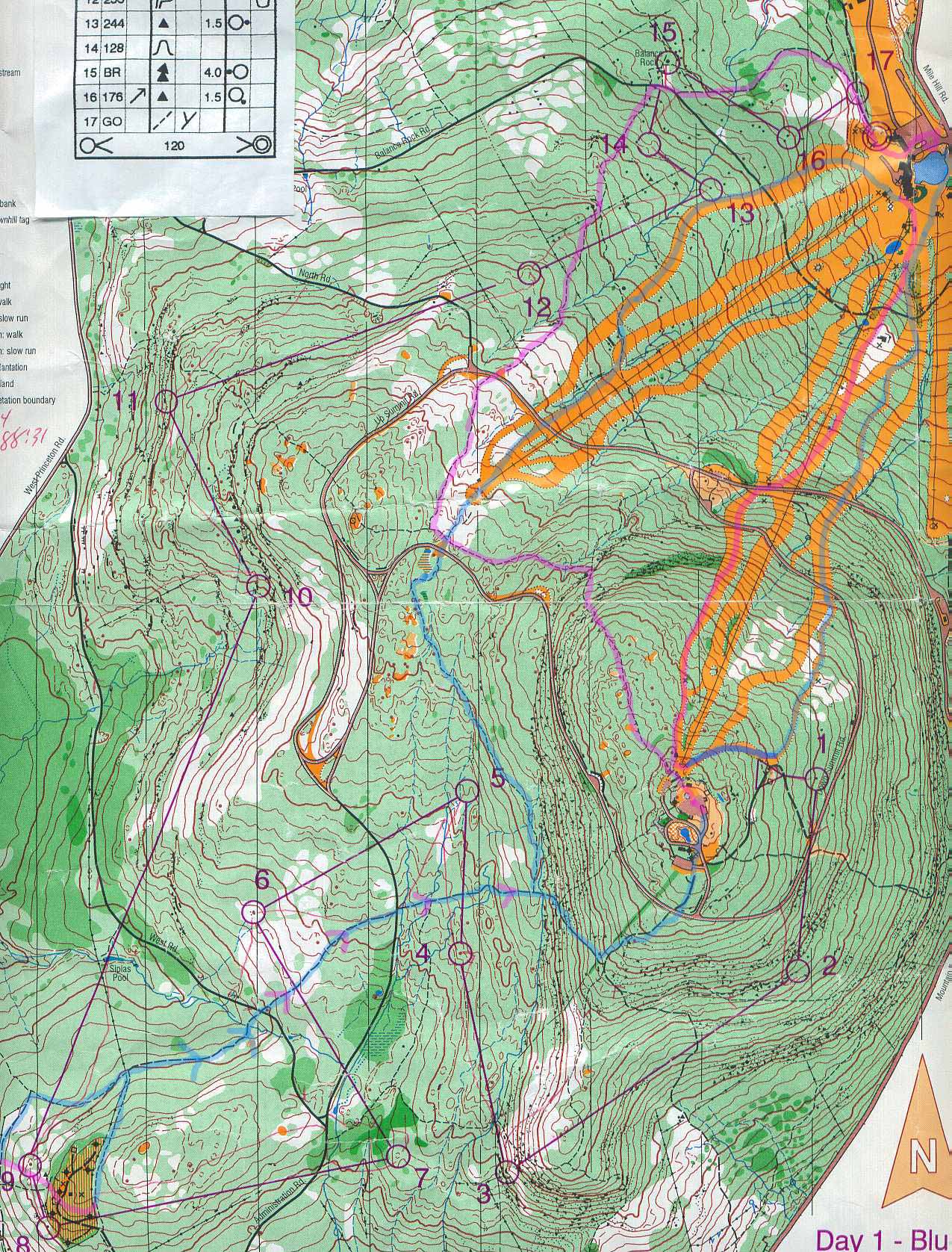
It's light green, distinct from medium and dark. Not briars, barberry, blueberry, or anything prickly. There are samples of those darker parts shown, too. Since the last round of field checking and use, there's been some logging in the SW, replacement of the windmills (shown lower left above), and some ice damage.
The major obstacle to O use as far as I know is that there is Old Growth somewhere on this mountain, and they (DCR) don't want to draw attention to it. However, when I did a Midstate Trail traverse of the mountain a month or so ago, overlapping the pink line shown above, I discovered a new sign saying "Edward J. Smith Old Growth area" just down from the summit.
The major obstacle to O use as far as I know is that there is Old Growth somewhere on this mountain, and they (DCR) don't want to draw attention to it. However, when I did a Midstate Trail traverse of the mountain a month or so ago, overlapping the pink line shown above, I discovered a new sign saying "Edward J. Smith Old Growth area" just down from the summit.
This discussion thread is closed.