Training Log Archive: TheInvisibleLogIn the 7 days ending Oct 7, 2012:
| ||||||||||||||||||||||||||||||||||||||||||||||||||||||||||||||||||
| « | » |
| » now | |||||||||||
| Mo | Tu | We | Th | Fr | Sa | Su | ||||||||
Sunday Oct 7, 2012 #
Running long 1:33:00 [3] 12.5 km (7:26 / km) +175m 6:57 / km
shoes: ASICS GT-2700
Noted this is my first 50k week in some time.
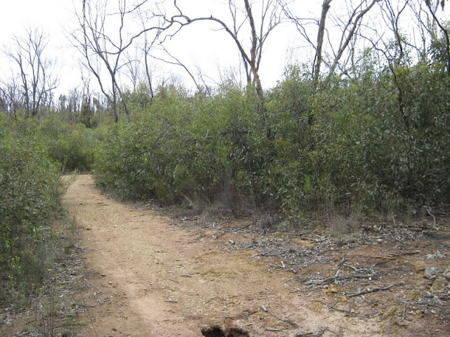
Before the fire.
 |
| From Devonshire Fire Regrowth |
Immediately after the fire.
 |
| From Devonshire Fire Regrowth |
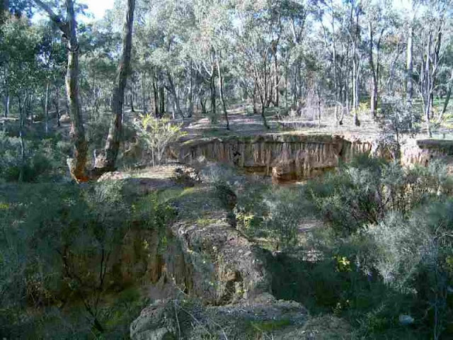
Some three years on.
 |
| From Devonshire Fire Regrowth |
 |
| From Devonshire Fire Regrowth |
Saturday Oct 6, 2012 #
Note
 |
| From Black Range - The Basin |
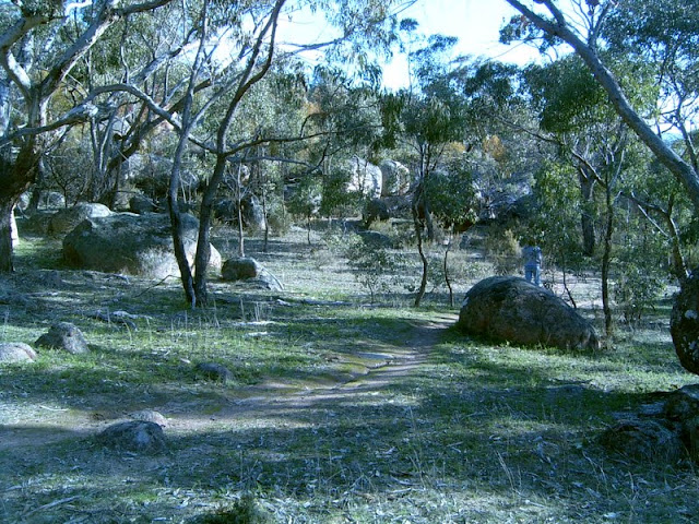
Well, there you will find terrain as complex as Kooyoora. But whereas Kooyoora has 8.5 sq k of granite, this location has 12.
 |
| From Black Range - The Basin |
And its often open and runnable.
 |
| From Black Range - The Basin |
 |
| From Black Range - The Basin |
 |
| From Black Range - The Basin |
Now lets talk assembly areas. This is at the end of Basin Road.
 |
| From Black Range - The Basin |
Lets see. Parking, toilets, canteen, and its sometimes used for camping.
Oh, and perhaps I should mention the immediate proximity of granite terrain on three sides, enough to host an Oz Sprint, Long and Relay from the one assembly area.
 |
| From Black Range - The Basin |
Green? Well, occasional bands of low visibility across some of the upper slopes, but generally less than 20 metres deep.
 |
| From Black Range - The Basin |
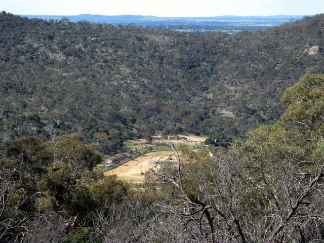
There are hills, with a terrain difference of 100 metres. Neither as high nor as steep as on Mt Alexander.
 |
| From Black Range - The Basin |
Interesting watercourses.
 |
| From Black Range - The Basin |
Some images from the southern end of the range. No special vista selection here either.
 |
| From Black Range |
 |
| From Black Range |
Some views from the east of the range after the bushfirees.
 |
| From Black Range |
 |
| From Black Range |
Lots more photos of Basin Road area here.
https://picasaweb.google.com/114573865667830672126...
Photos from the south and east of the range here.
https://picasaweb.google.com/114573865667830672126...
The issues.
1. Its south of Stawell. Fair way from Melbourne, but not so bad for Ballarat orienteers. A weekend here is worth a drive.
2. I have no idea of the availability of lidar or aerials at this stage.
UPDATE - No lidar available as of the stocktake report in 2011.
3. Lots of this is private land. Some negotiation is needed. See the cadastral map in the album and below. Dark blocks are public land, white are private. Anyone up for starting talking to the locals? If its to be used for the 2015 Oz Champs, then mapping has to start in the next year.. given the size of the area.
 |
| From Black Range - The Basin |
 |
| From Black Range - The Basin |
Real Orienteering (Norfolk Hero) 1:05:39 [3] *** 8.2 km (8:00 / km) +260m 6:55 / km
spiked:9/14c shoes: Innov-8
Friday Oct 5, 2012 #
Running tempo 37:35 [4] 6.9 km (5:27 / km) +50m 5:15 / km
shoes: ASICS GT-2700
Thursday Oct 4, 2012 #
MTB (Not O) 23:00 [3]
Running 40:00 [3] 6.8 km (5:53 / km) +25m 5:47 / km
shoes: ASICS GT-2700
MTB (Not O) 37:00 [3]
Wednesday Oct 3, 2012 #
MTB (Not O) 25:00 [2]
Running 24:00 [2] 4.0 km (6:00 / km) +10m 5:56 / km
shoes: ASICS GT-2700
MTB (Not O) 24:00 [2]
Monday Oct 1, 2012 #
Running 20:00 [2] 3.0 km (6:40 / km) +30m 6:21 / km
shoes: ASICS GT-2700
 |
| From Stawell Nuggetty Hill |
Running 1:25:00 [2] 7.0 km (12:09 / km) +250m 10:18 / km
shoes: ASICS GT-2700
Will put some more picture sup when I have stitched the panoramas. These will do for now.
 |
| From Black Range - The Basin |
Click on the link for more.
Running 20:00 [2] 3.0 km (6:40 / km) +30m 6:21 / km
shoes: ASICS GT-2700
 |
| From Tarnagulla Creek |