Training Log Archive: NadimIn the 1 days ending Mar 31, 2019:
| ||||||||||||||||||||||||||||||||||||||||
| « | » |
| » now | ||||
| Su |
Sunday Mar 31, 2019 #
2 PM
Orienteering 1:57:33 [3] 5.41 mi (21:44 / mi) +218m 19:18 / mi
(injured)
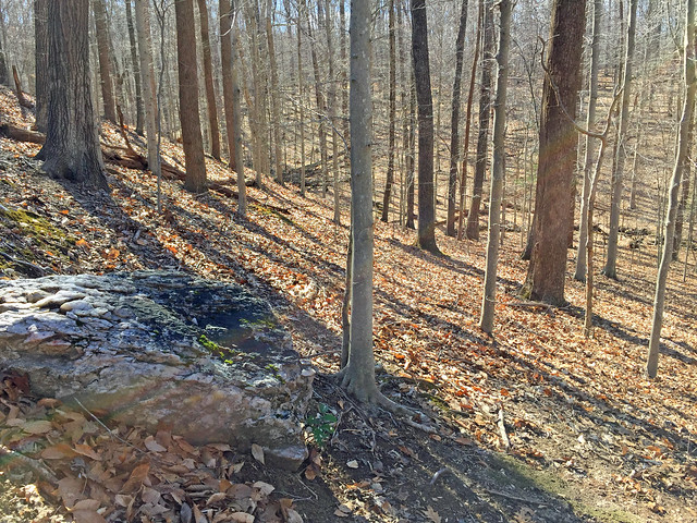
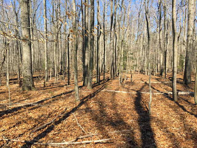
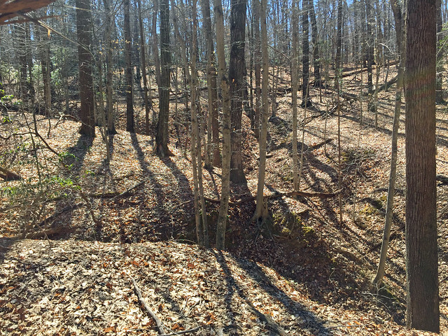
Prince William Forest, VA. From Warm Springs and Bowmans Folly Dr., I started out walking into the park and later jogged. I needed to walk to warm-up and try to prevent further injury to my calf. This was a scouting outing for new terrain to map. Greg Lennon had prepared the base map with mostly contours and the major creeks. He also threw in a few areas he and I guessed to be green, based on satellite imagery. My guesses tended to be as predicted, but that didn't always work for where Peggy ran.
Before I got started, I dropped off Peggy at Cabin Camp 1, further SW down Rte. 243. She ran back while scouting new terrain to meet me at Warm Springs Rd.
Peggy and I had a similar experience getting started. Our base map didn't show exactly where we were starting from so we eventually had to locate ourselves on the map with primarily only contours. Given that there were lots of parallel contours, it took us each a long time to be sure of where we were--about 30 minutes for Peggy, and about 38 minutes for me.
Both of us found various things and most of it was nice. Where there was green terrain, it wasn't so awful to not want to get near it. I often found distinct edges to dense vegetation or deadfall. If mapped well, one could see the ways through most of it. The areas I got into were flatter than what we often are racing through. That made it extra hard to stay on track. I thought I'd hit a stream confluence just perfectly once, when I later found that I wasn't where I thought I'd been--I found myself going downhill when I should be going up. However, streams did help me to relocate pretty well. I think this terrain would be a great addition to what we've already got in PWF. Some might consider the lack of contours and not so many point features close together to be bland, but I think it reflects a legitimate challenge in navigating. The later half of my run was through a lot of very fast open terrain where it's tempting to overrun one's navigation ability. I messed-up even though I was going slowly, but I was glad to be out and moving again. My right calf did get a little sore again during the run but it held up. I just slowed down and walked more when I felt it.