Discussion: Interesting cartography story - fictitious towns
in: Orienteering; General
Apr 2, 2014 12:01 AM
#
I've heard of some of Swampfox's whimsical place names showing up on other maps.
Apr 2, 2014 12:29 PM
#
Saw the Agloe story from other sources in advance of April 1, so I think that's real.
Apr 5, 2014 8:12 AM
#
roar:
I saw some Czech o maps where the mapper had written his name with a feature, for example a river.
Apr 9, 2014 10:40 AM
#
In 2009, I was going to use a map of Warby Range for the Aus Relay Champs with a Ned Kelly helmet in it, but was convinced by the controller not to


Apr 10, 2014 5:02 AM
#
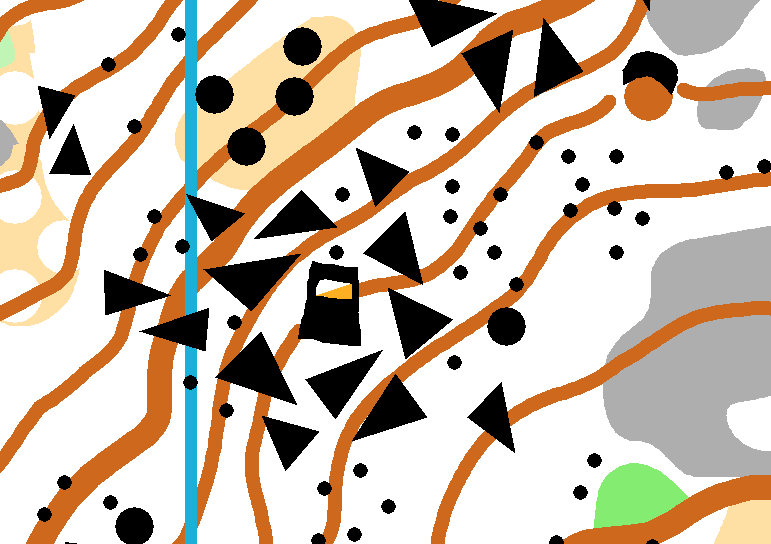
On an OCIN map of Hisey Park (Warren County, Ohio), the contractor who created some artificial wetlands spelled his initials out of earthen mounds and small ponds. It is clearly visible on aerial photos and the orienteering map. Not exactly a fiction, since the feature is really there.
There was a similar story from a state forest in Michigan a number of years ago where people flying over a planted forest in fall noticed that the fall colors of a grove of sugar maples created a perfect swastika. The state forestry did some selective cutting to break up the shape, but it obviously had to have been planned when the planting was done decades ago.
There was a similar story from a state forest in Michigan a number of years ago where people flying over a planted forest in fall noticed that the fall colors of a grove of sugar maples created a perfect swastika. The state forestry did some selective cutting to break up the shape, but it obviously had to have been planned when the planting was done decades ago.
Apr 10, 2014 5:06 AM
#
I do have to admit that a mapper caught me with one work of fiction. When I was in graduate school in Indiana, I'd often head out on the weekend to explore various parks and other interesting sites in the state. The state AAA road map had a symbol for point of interest, most of which were real, and one along the White River 30 or 40 miles southwest of Bloomington was labeled "Bluffs of Beaver Bend". I figured it might be an interesting place for hiking or exploring, but after a couple hours of driving some of the most awesome hilly, winding, dirt roads, (passing more than one bullet-riddled "no trespassing" sign) I was forced to admit that no such place actually existed. And, on the next year's version of the map, it indeed was no longer there.
This discussion thread is closed.