Training Log Archive: NadimIn the 30 days ending Sep 30, 2018:
| ||||||||||||||||||||||||||||||||||||||||||||||||||||||||||||||||||||||||||||||||||||||||||||
| « | » |
| » now | ||||||||||||||||||||||||||||||||||||||||||||||||||||||
| Sa | Su | Mo | Tu | We | Th | Fr | Sa | Su | Mo | Tu | We | Th | Fr | Sa | Su | Mo | Tu | We | Th | Fr | Sa | Su | Mo | Tu | We | Th | Fr | Sa | Su | ||||||||||||||||||||||||||||
Sunday Sep 30, 2018 #
Orienteering (Field Checking) 2:01:34 2.98 mi (40:48 / mi) +101m 36:55 / mi
slept:6.0 weight:196lbs
Saturday Sep 29, 2018 #
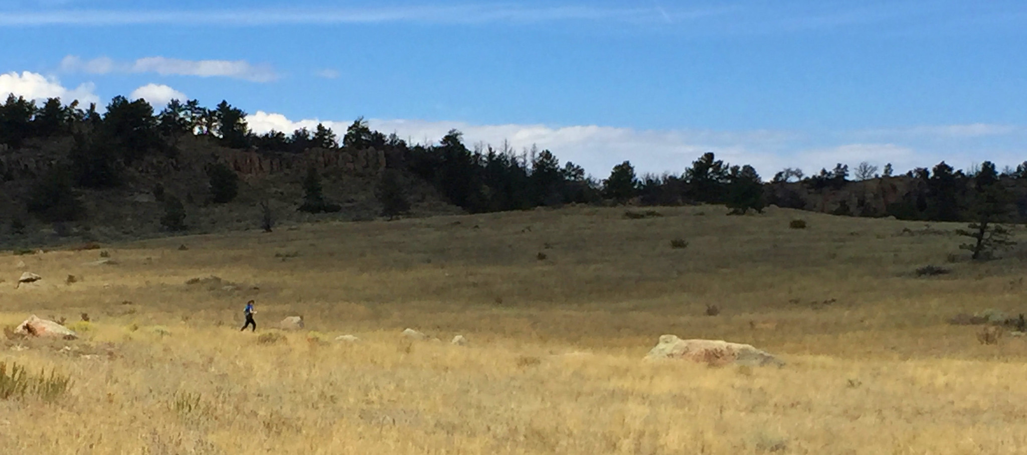
Orienteering (Field Checking) 3:06:36 [1] 4.18 mi (44:38 / mi) +160m 39:54 / mi
slept:8.0 weight:197lbs
Orienteering (Field Checking ) 2:30:32 [1] 3.38 mi (44:32 / mi) +101m 40:45 / mi
Friday Sep 28, 2018 #
Bicycling (Commute) 6:47 [3] 1.41 mi (4:49 / mi) +26m 4:33 / mi
Running (Street & Trail) 42:04 [3] 4.55 mi (9:15 / mi) +124m 8:32 / mi
Bicycling (Commute) 6:14 [3] 1.41 mi (4:25 / mi) +24m 4:12 / mi
Saturday Sep 22, 2018 #
Running (Trail) 36:57 [3] 4.0 mi (9:14 / mi) +22m 9:05 / mi
slept:7.5 weight:196.5lbs
Friday Sep 21, 2018 #
Bicycling (Commute) 6:27 [3] 1.41 mi (4:34 / mi) +21m 4:22 / mi
slept:4.75 weight:196lbs
Bicycling (Commute) 5:50 [3] 1.41 mi (4:08 / mi) +21m 3:57 / mi
Running (Street & Trail) 20:51 [3] 2.36 mi (8:50 / mi) +55m 8:14 / mi
Thursday Sep 20, 2018 #
Bicycling (Commute) 6:11 [3] 1.41 mi (4:23 / mi) +25m 4:09 / mi
slept:6.5 weight:195lbs
Bicycling (Commute) 6:01 [3] 1.41 mi (4:16 / mi) +16m 4:08 / mi
Running (Street & Trail) 30:42 3.43 mi (8:57 / mi) +70m 8:25 / mi
Wednesday Sep 19, 2018 #
Bicycling (Commute) 40:00 [3] 12.2 mi (3:17 / mi) +64m 3:14 / mi
slept:4.5 weight:197lbs
Bicycling (Commute) 43:36 [3] 12.1 mi (3:36 / mi) +133m 3:29 / mi
Sunday Sep 16, 2018 #
Running (Terrain) 6:30 [2] 0.63 mi (10:19 / mi) +11m 9:48 / mi
slept:7.5 weight:195.5lbs
Orienteering (Foot) 1:14:27 [4] 6.0 km (12:25 / km) +210m 10:34 / km
spiked:7/12c
S-1, I ran up the spur, just to the right of going straight. I popped out on the left side of the pond, but a bit higher than I'd planned.
1-2 - I ran out to cross the road about at the jersey barriers. I plunged back in to come over a spur and cross a reentrant. I spliked it but it felt slow walking the climbs.
2-3 - I ran down the reentrant and climbed a bit as the reentrant hooked left.
3-4 - I ran fairly straight to the road, and then along the hillside. I was fairly high still when I could see the control ahead below.
4-5 - I guess I was getting tired at this point. I ran up to use the road but approaching it, I got confused into thinking In needed to cut right instead of left. I figured this out as I was angling onto the road, but I'd lost time--a minute or so? Executing the rest of the leg, I ran up the road and a to below the south end of the pond. From there I slogged up.
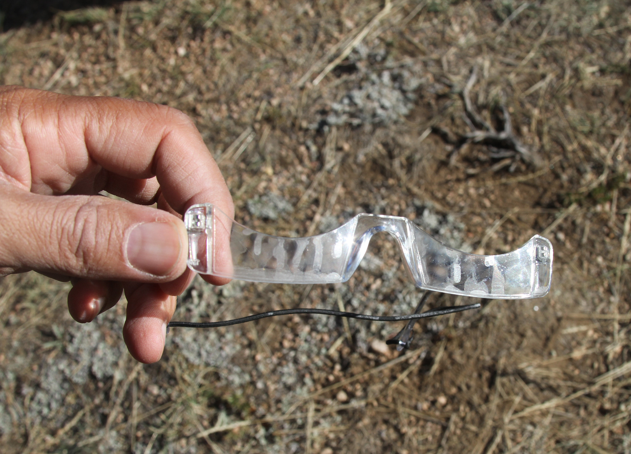
5-6 - I ran over to the dirt road, past the pond, and started up on the dirt road. I cut into the woods at the first reentrant and hit the road. I wanted to stay high along the fence so I crossed the road right away, above the jersey barriers. Getting through the thorny brambles along the road was slow. Those will probably get mapped medium green and be extended down the road a way (more than was shown today. After getting through it, I planned to stay high and go along the fence. I got to the fence. The vegetation at the next reentrant I crossed forced me down but I got back up again. At the next reentrant where there was mapped bamboo running wild, the map showed I could get around the bamboo while still staying high. I plunged in and at first I was making a slow progress. Eventually, I could get no further and needed to back out. I think I lost my glasses doing this. It didn't occur to me at the time, I just wanted to get out of the bamboo. By the time I got out and around, I had to drop into the reentrant so I angled up from there. Eugene was leading a small group that did manage to attack from high. We converged with me getting there just behind them.
6-7 - I angled out to the road to get around the reentrant, then went back in afterward. There was a more rhododendron than I expected from the green. I got through without too much trouble at first but eventually I had to walk. I got a bit to the right, but recognized the narrow reentrant there. I corrected to curl left into the control, still walking a lot. From comparison splits, I apparently lost more time than I thought at the time.
7-8 - I again tried to stay high so I angled upstream to cross the first reentrant. To get around the gully in it, I went further right before crossing. On my climb, I resumed my straight bearing since I wanted to get above the next reentrant. At the ridge top, I saw Gary Smith. I thought I saw the reentrant I was looking for but really, I was just SE of #2. I started seeing a lot of reentrants and eventually surmised this. I dropped down to make sure and checked the code at #2. I thought I had it made from there. I ran along the side of the reentrant toward #8. Maybe the 1:7,500 scale was throwing me off. I got past the control and south of #8. I climbed out hesitating a lot. Eventually I curled back to the right. When I got there, Eugene and his group were there.
8-9 - I ran straight and spiked it. I did stop along the way at least once to check the map.
9-10 - I angled toward the road, left of going straight. I came out at the odd small knolls on both sides of the road and felt I knew where I was. However, the lack of glasses on my second glance at the map led me to think the squiggle of a contour in the clearing along the road, south of #10, was the same 2 knolls. I plunged into the woods early, not far after the knolls and hit the reentrant near #11. I realized this and kept moving through it. I then stayed low until hitting #10, but I'd lost more time.
10-11 - I ran the stream valley a little lower than I had climbed it toward #10. I actually crossed the stream a few times. The lack of glasses again made it hard to read within the circle. I anticipated the control to be on the east side of the main reentrant. Not seeing the control there with the major reentrant that I'd crossed before going to #10 coming up, turned up it. I didn't get very far before looking behind me. The control would have been visible if I'd gone just a little further. I suppose reading the clue description would have helped too.
11-12 - I stayed in the valley, eventually picking up the trail and following it to the bottom. Using the road, and then crossing the field I felt pretty slow.
12-13 - I managed to pickup the pace a bit but it seemed to me that my finish pace was what I used to just run when on the course.
Saturday Sep 15, 2018 #
Running (Trail) 24:21 [3] 2.6 mi (9:22 / mi) +63m 8:43 / mi
Friday Sep 14, 2018 #
Running (Street & Trail) 22:24 [3] 2.5 mi (8:58 / mi) +32m 8:37 / mi
slept:5.5 weight:195.5lbs
Thursday Sep 13, 2018 #
Running (Trail) 23:59 [3] 2.68 mi (8:57 / mi) +35m 8:36 / mi
slept:5.0 weight:195lbs
Sunday Sep 9, 2018 #
Running (Street & Trail) 31:05 [3] 3.43 mi (9:04 / mi) +75m 8:29 / mi
(injured)
Saturday Sep 8, 2018 #
Orienteering (Foot) 1:02:08 2.96 mi (20:59 / mi) +129m 18:30 / mi
(injured)
I started shortly before Gavin who, though out of shape too, is younger and usually faster than me. I took the low route to #1 and ran all but the steepest parts. I was to find the control, all of them set to White level, in the second of 2 rides which were close together. When I crossed the creek, I didn't notice a ride like I should have--trees had grown up over it and it was shown in yellow on the map. When I got to the second, I went on and stopped just before a trail. I realized where I was and turned back to spike it from there but by the time I'd gotten to the control, Gavin was right behind me.
I went up the ride to the road/trail to #2. Gavin tried coming a shorter route from the ride through the woods and seemed to hit it well, but he was a little further behind me.
Going to #3, I took the left side of the long reentrant. I lost a little time making sure I was getting into the right reentrant. When I crossed to the right side of the reentrant and climbed toward the visible spur, I thought I was close, but had to climb up the spur a little further than expected.
Going 3 #4 and still just starting out, I saw Gavin coming down the trail that I was going up. He'd come through the reentrant to #3 also, but attacked earlier than I had; he'd ended up climbing more. Taking trails toward #4, I moved better. I cut through to get into the campground with Gavin further behind but still within hearing distance. I soon saw Samantha and she was looking a bit panicked. She was less concerned about being lost than needing to pee. I told her to use the woods and waved Gavin off as he passed by.
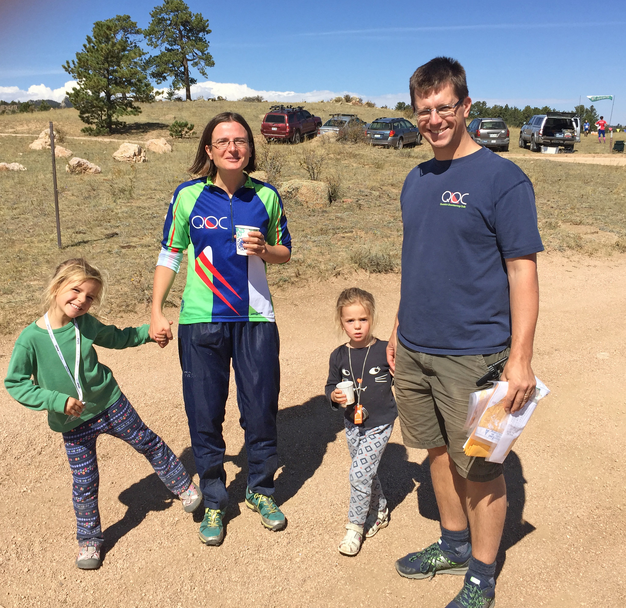
Samantha had done pretty well and it sounded like she'd gotten the first 4 White course controls. Though set well. the terrain in Pohick can be steep and sometimes confusing. There are a lot of trails in various shapes. The pullouts for the campground loop were not mapped, and they might have confused Samantha more. I got her back on track, focusing on getting her more able to orient the map to north. She struggled with that, twisting Peggy's thumb compass instead of the map but after several times, she seemed to improve. We went on but since we were late, we went to #6, #9, #10, #11, #12, #13, and #14 on her course. Samantha didn't complain much as she'd been prone to doing. I even got her to run a few times. The approaching and sometime sprinkling rain helped with her motivation. Samantha had seen Peggy and I do map reviews with Max when we were in Wyoming, and she was eagar to do that with us. Initially, she seemed to be able to describe valid routes including an error. Peggy had seen Samantha and helped her a little on Samantha's way to White #4. Some of the rest of Samantha's descriptions of what happened were "creative" as Peggy described them. It was hard to tell what really happened and we had been too late to get a finish time with splits to confirm Samantha reaching #2, #3, or #4. It was still good that Samantha had been motivated to try this on her own.
Friday Sep 7, 2018 #
Bicycling (Commute) 4:40 [3] 1.0 mi (4:40 / mi) +19m 4:24 / mi
(injured)
Bicycling (Commute) 4:34 [3] 0.99 mi (4:37 / mi) +14m 4:25 / mi
(injured)
Thursday Sep 6, 2018 #
Bicycling (Commute) 5:48 [3] 1.41 mi (4:07 / mi) +26m 3:54 / mi
weight:198lbs (injured)
Bicycling (Commute) 5:54 [3] 1.41 mi (4:11 / mi) +19m 4:01 / mi
(injured)
Bicycling (Commute) 6:15 [3] 1.08 mi (5:47 / mi) +31m 5:19 / mi
(injured)
Bicycling (Commute) 8:23 [3] 1.08 mi (7:46 / mi) +80m 6:19 / mi
(injured)
Wednesday Sep 5, 2018 #
Bicycling (Commute) 6:20 [3] 1.41 mi (4:30 / mi) +19m 4:18 / mi
weight:197.5lbs (injured)
Bicycling (Commute) 7:15 [3] 1.73 mi (4:11 / mi) +24m 4:01 / mi
(injured)
Running 20:35 [3] 2.2 mi (9:21 / mi) +32m 8:57 / mi
(injured)
Tuesday Sep 4, 2018 #
Bicycling (Commute) 6:02 [3] 1.37 mi (4:24 / mi) +19m 4:13 / mi
slept:5.4 weight:197lbs
Bicycling (Commute) 6:05 [3] 1.28 mi (4:45 / mi) +175m 3:20 / mi
(injured)
Monday Sep 3, 2018 #
Note
slept:8.0 weight:194.5lbs (injured)
Sunday Sep 2, 2018 #
Hiking 2:29 [3] 0.17 mi (14:16 / mi) +11m 11:59 / mi
Orienteering 1:03:35 [3] 4.35 mi (14:38 / mi) +243m 12:28 / mi
Saturday Sep 1, 2018 #
Running (Terrain) 16:51 [3] 0.68 mi (24:47 / mi) +14m 23:20 / mi
Running warm up/down (Terrain) 3:49 [3] 0.31 mi (12:19 / mi) +5m 11:43 / mi
(injured)
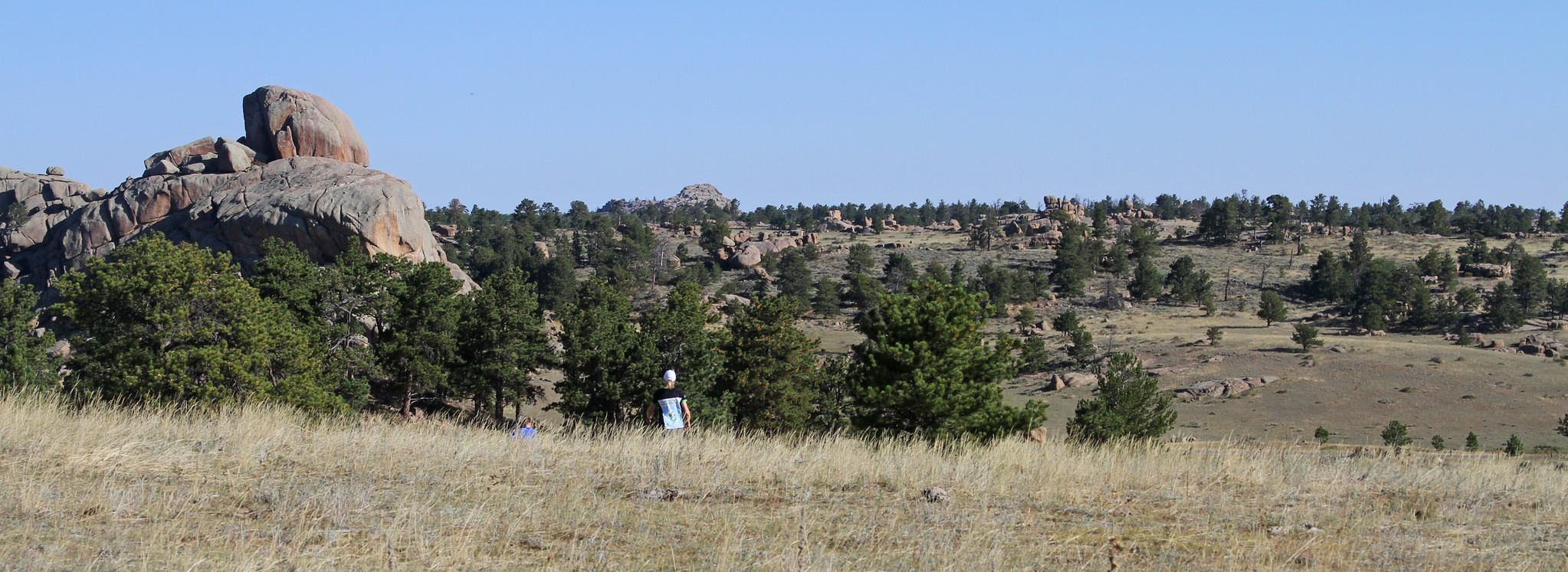
Orienteering race (Foot) 1:09:22 [4] 5.8 km (11:58 / km)
(injured)
Running 13:02 [3] 0.34 mi (38:21 / mi)
Orienteering 1:19:52 [3] 1.96 mi (40:45 / mi) +44m 38:06 / mi
(injured)
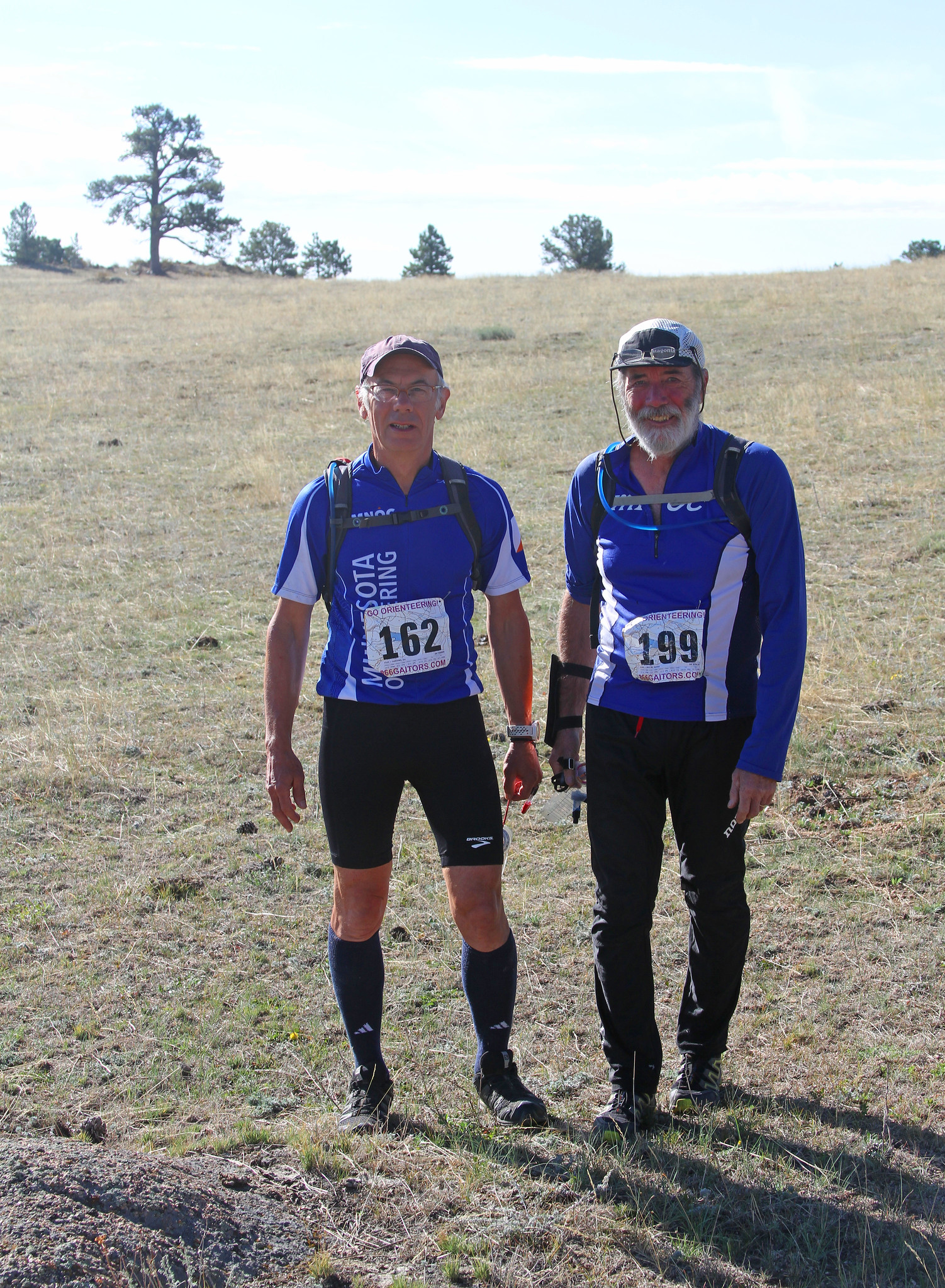
Ted Good finishing his Red course:
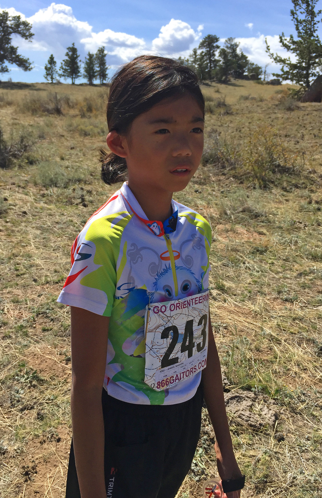
Samantha on the White course:
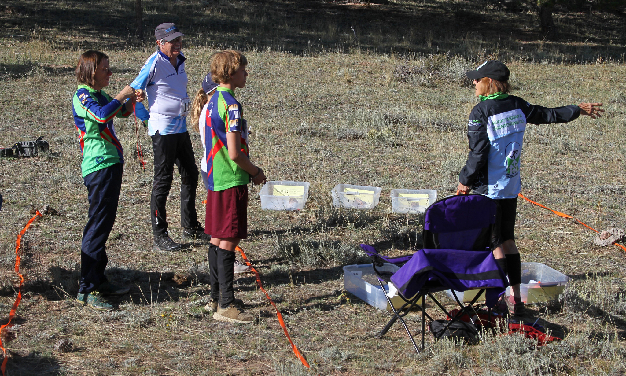
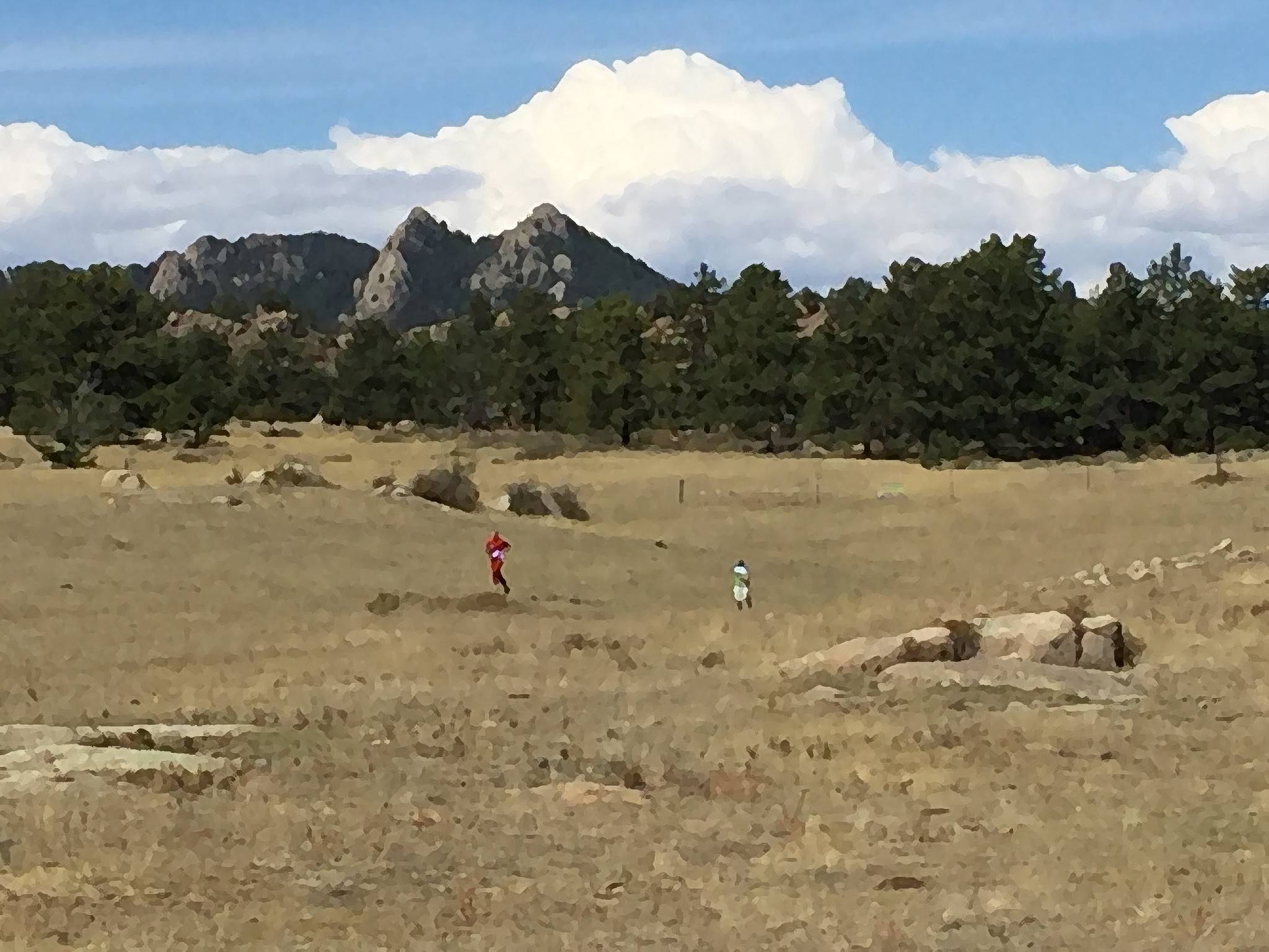
Peggy on the Green course:
Peggy on the Green course:
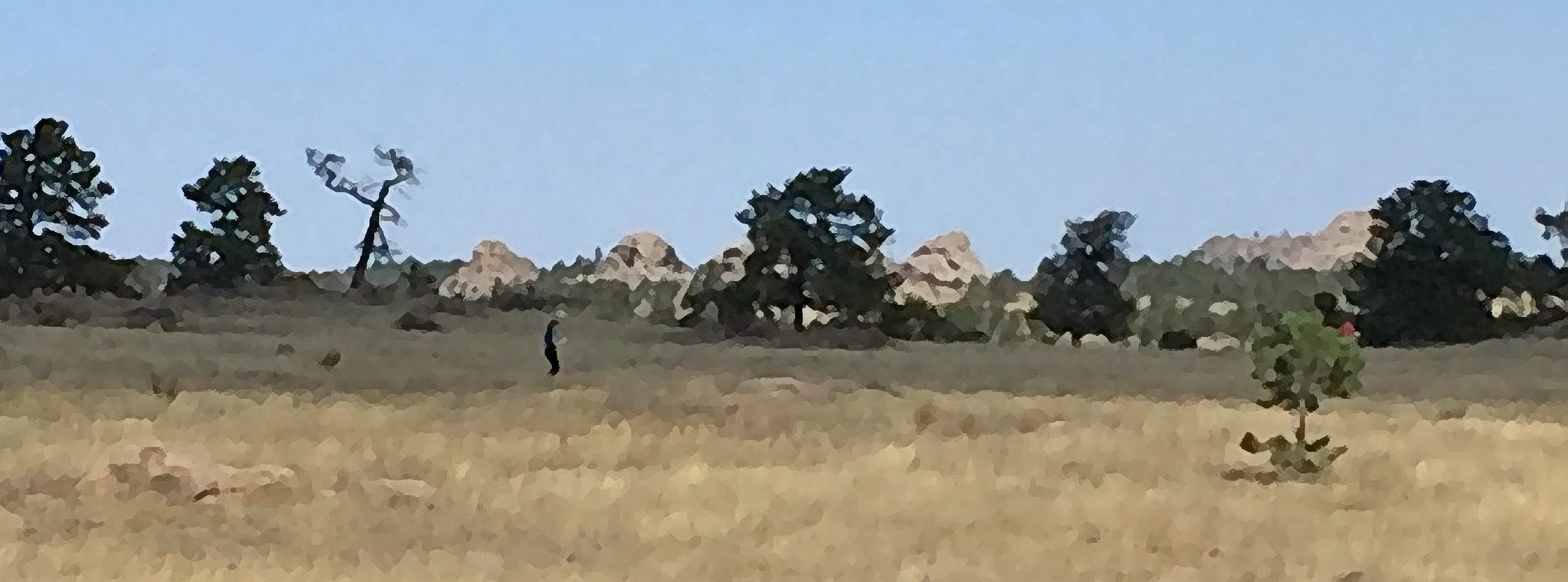
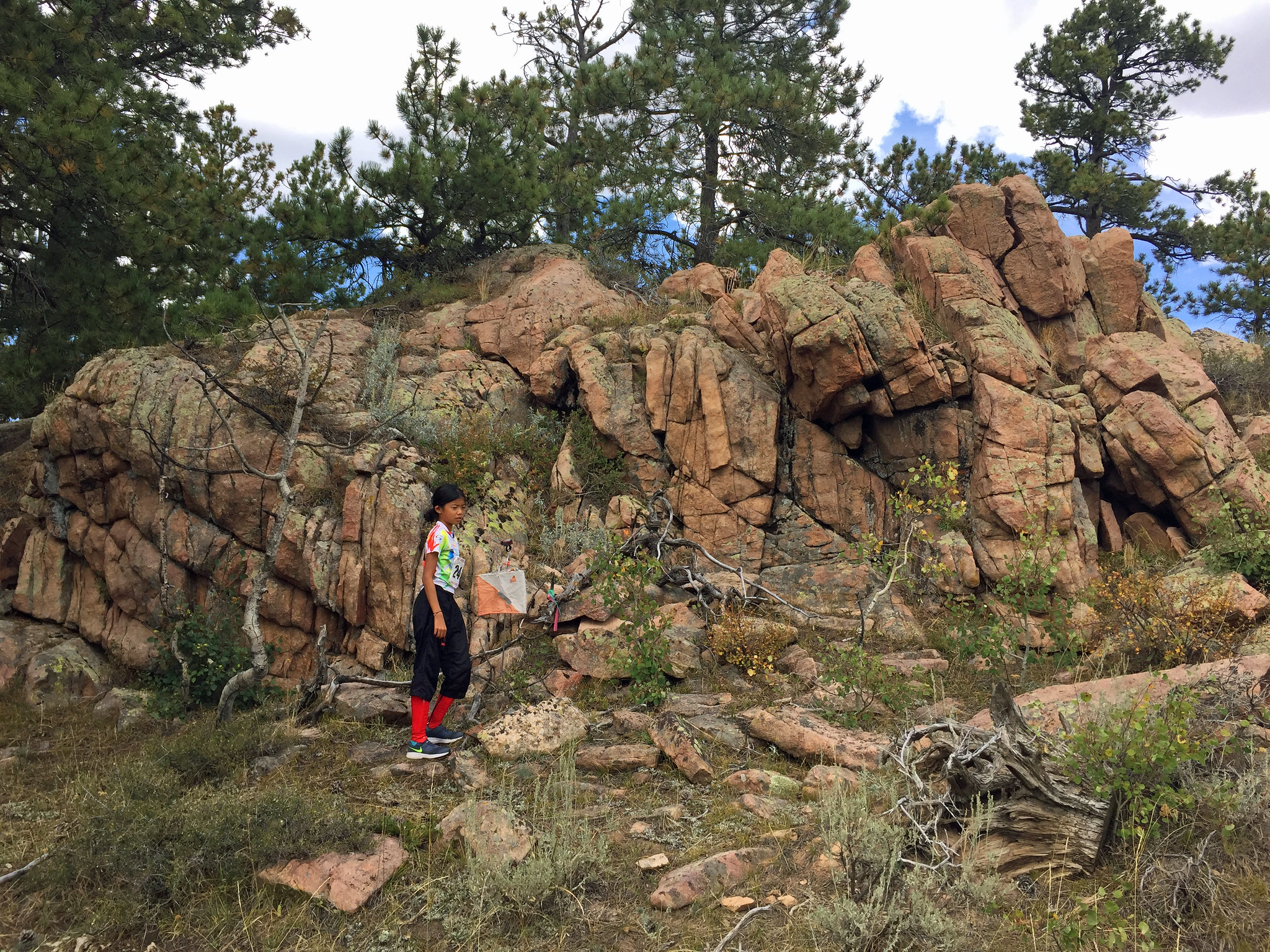
Samantha on the White course: